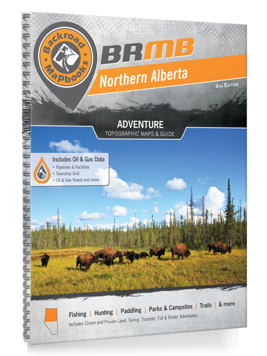
Northern Alberta Backroad Mapbooks 4th Edition | BRMB
Northern Alberta Backroad Mapbooks 4th Edition | BRMB is backordered and will ship as soon as it is back in stock.
Delivery and Shipping
Delivery and Shipping
Canada: Free standard shipping on orders over $150 to BC, AB, SK, MB, and ON
Delivery Times
Canada: 3-7 business days after processing.
United States: 5-10 business days after processing.
Payment & Security
Payment methods
Your payment information is processed securely. We do not store credit card details nor have access to your credit card information.
Navigate the Untamed North — Find Freedom Beyond the Pavement
When you're deep in Northern Alberta’s boreal forests, paddling the mighty Peace River, or tracking across sprawling grasslands, survival means knowing the land.
The Northern Alberta Backroad Mapbook – 4th Edition is your trusted companion for off-grid adventure and tactical readiness, delivering the most detailed backroad and wilderness navigation available for this rugged frontier.
Covering over 125,000 km of roads — including Alberta’s most complete network of logging and industrial roads — this heavy-duty, spiral-bound guide features 97 detailed topographic maps, hundreds of outdoor adventure listings, fish stocking data, Crown land markers, Oil & Gas infrastructure coverage, and access to new provincial parks and grazing reserves.
Whether you're prepping, hunting, camping, or planning a backcountry escape, this Mapbook gives you the clarity and confidence to thrive across Northern Alberta’s remote landscapes.
Key Features for Survival and Adventure:
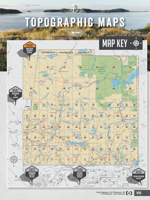
- 97 topographic maps at scales starting at 1:250,000
- 125,000+ km of backroads, logging, and industrial road mapping
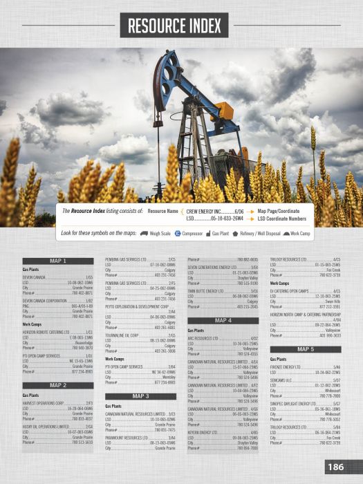
- Expanded Oil & Gas coverage: LSD grids, compressors, plants, and wells
- New Crown and private land overlays for secure survival planning
- Fish species labelled and updated for major lakes and rivers
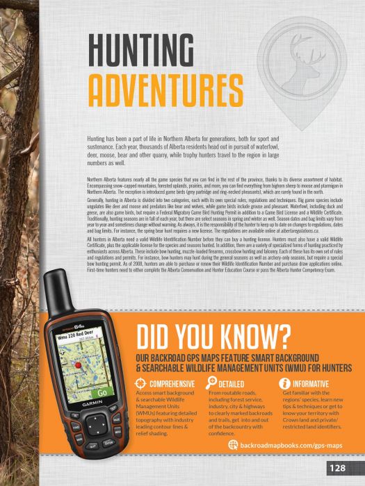
- Hiking, ATV, snowmobile, paddling, and winter recreation routes
- Wildlife viewing hotspots and strategic hunting zones
- Backcountry huts, cabins, parks, and campsites clearly marked
- Durable spiral-bound format for rugged field use
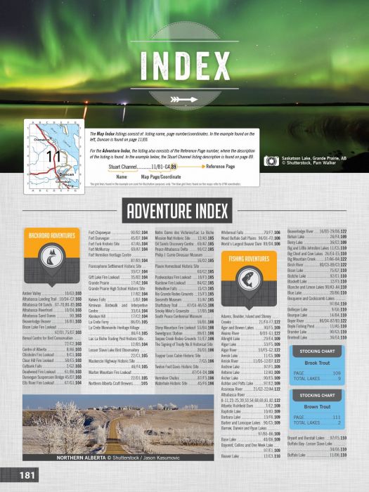
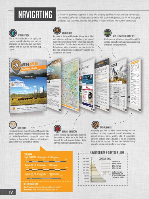
- Full Service Directory, Adventure Index, and Trip Planning Tools included
| Specification | Details |
|---|---|
| Edition | 4th Edition |
| Format | 21.5 x 28 cm (8.5 x 11") Spiral-Bound Print |
| Page Count | 224 Pages |
| Maps Included | 83 @ 1:250,000 scale; 14 @ 1:500,000 scale |
| Backroads Coverage | 125,000+ km including logging and industrial roads |
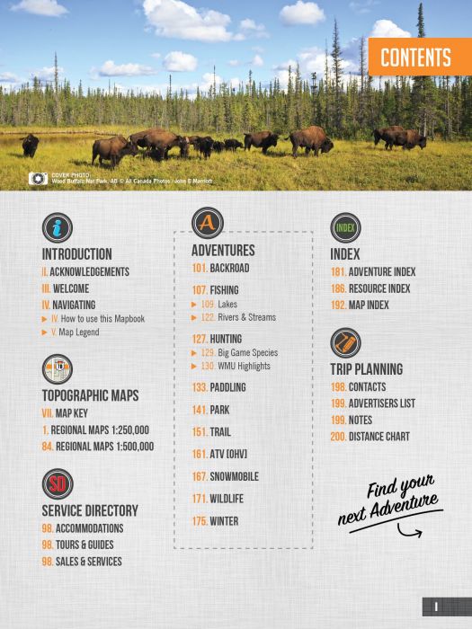
| Adventure Sections | 10 Outdoor Adventure Sections + Service Directory |
| Crown Land Mapping | Included |
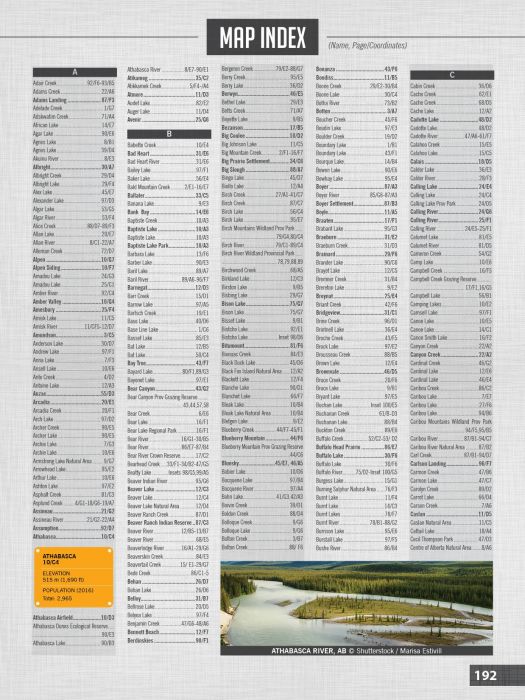
| Additional Features | Trip Planning Tools, Adventure Index, Map Index |