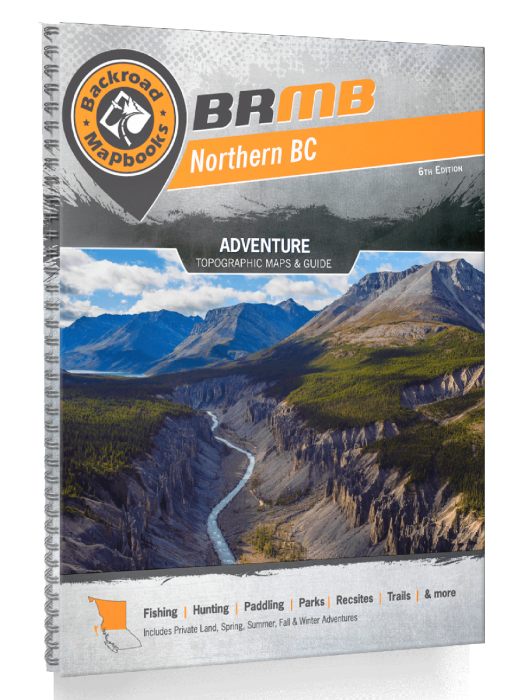
Northern BC Backroad Mapbooks - 7th Edition | BRMB
Northern BC Backroad Mapbooks - 7th Edition | BRMB is backordered and will ship as soon as it is back in stock.
Delivery and Shipping
Delivery and Shipping
Canada: Free standard shipping on orders over $150 to BC, AB, SK, MB, and ON
Delivery Times
Canada: 3-7 business days after processing.
United States: 5-10 business days after processing.
Payment & Security
Payment methods
Your payment information is processed securely. We do not store credit card details nor have access to your credit card information.
Master One of Canada’s Last True Frontiers — No Signal Required
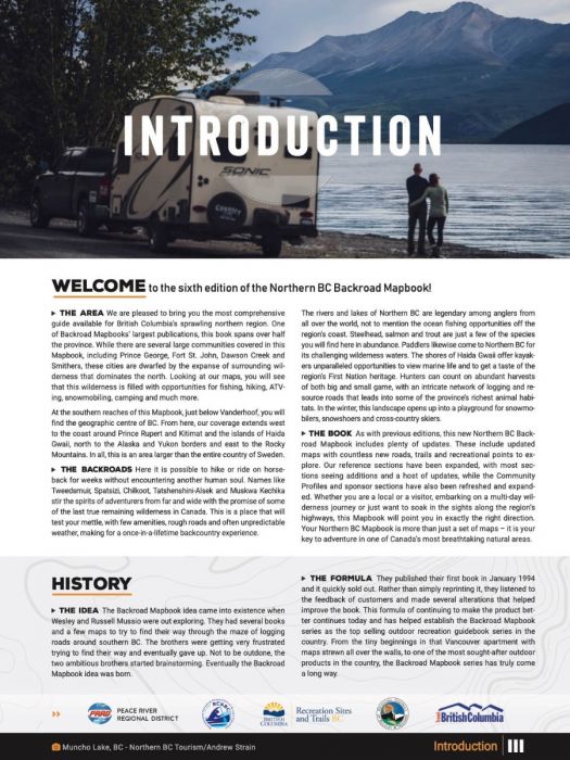
When you’re pushing into Northern British Columbia’s endless backcountry — where roads vanish into vast mountains, forests, and coastlines — you need more than a map. You need a survival tool.
The Northern BC Backroad Mapbook – 7th Edition delivers the most comprehensive and field-proven wilderness mapping available for this massive region.
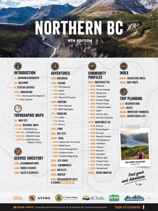
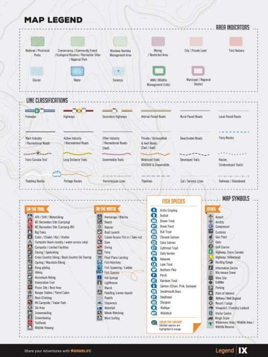
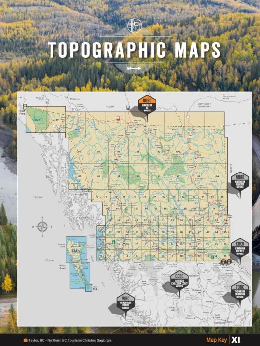
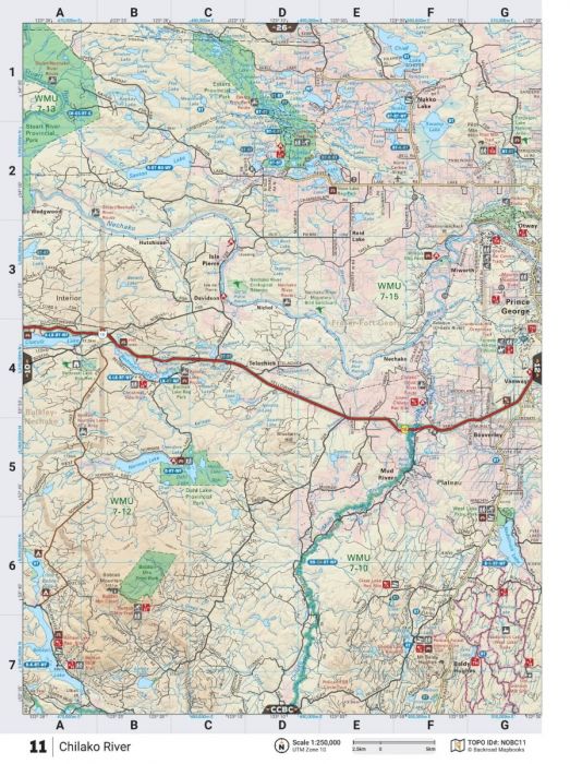
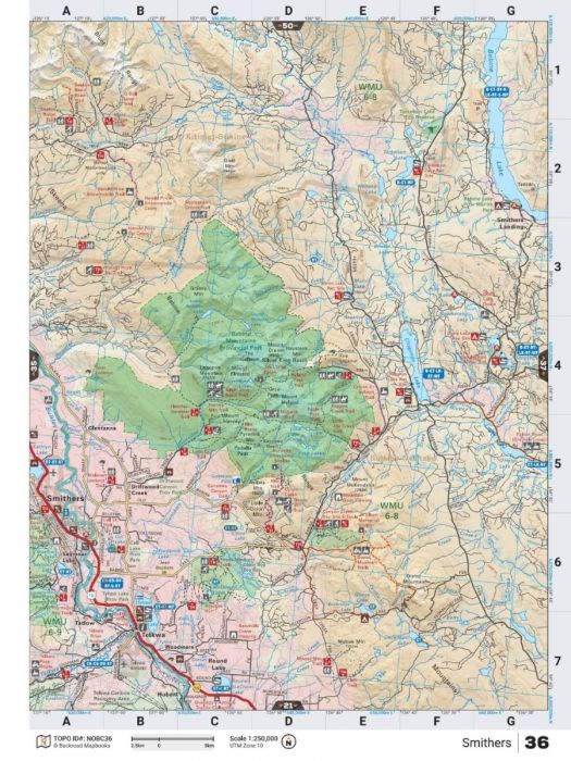
Packed into a rugged, spiral-bound 320-page format, this guide features 114 detailed topographic maps, updated trail systems, expanded Crown and private land boundaries, fish stocking data, new backcountry huts, and community profiles — all designed to keep you one step ahead in remote and challenging conditions.
Covering over 240,000 km of roads, including BC’s most complete industrial and logging road networks, and featuring the best hiking, paddling, ATV, snowmobile, hunting, fishing, and wildlife viewing routes, this book ensures you’re ready for anything.
Key Features for Survival, Hunting, and Off-Grid Exploration:
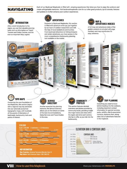
- 114 topographic maps at 1:250,000, 1:275,000, and 1:550,000 scales
- 240,000+ km of road and backcountry network coverage
- Expanded motorized and multi-use trail mapping
- Updated Wildlife Management Units and backcountry campgrounds
- Fish species and stocking charts for major lakes and rivers
- New and refined private land and Crownland boundaries
- Backcountry Hut & Cabin listings and updated Community Profiles
- Parks, campsites, trailheads, and hot spring locations mapped
- Rugged heavy-duty spiral binding — built for field use
- Comprehensive Adventure Index, Service Directory, and Trip Planning Tools
| Specification | Details |
|---|---|
| Edition | 7th Edition |
| Format | 21.5 x 28 cm (8.5 x 11") Spiral-Bound Print |
| Page Count | 320 Pages |
| Maps Included | 60 @ 1:250,000 scale; 27 @ 1:275,000 scale; 27 @ 1:550,000 scale |
| Road Coverage | 240,000+ km including logging and industrial roads |
| Adventure Sections | 12 Outdoor Adventure Sections + Expanded Community Profiles |
| Crown and Private Land Mapping | Included |
| Additional Features | Trip Planning Tools, Adventure Index, Map Index |
