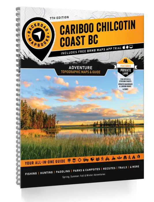
Cariboo Chilcotin Coast BC Backroad Mapbooks - 7th Edition | BRMB
Cariboo Chilcotin Coast BC Backroad Mapbooks - 7th Edition | BRMB is backordered and will ship as soon as it is back in stock.
Delivery and Shipping
Delivery and Shipping
Canada: Free standard shipping on orders over $150 to BC, AB, SK, MB, and ON
Delivery Times
Canada: 3-7 business days after processing.
United States: 5-10 business days after processing.
Payment & Security
Payment methods
Your payment information is processed securely. We do not store credit card details nor have access to your credit card information.
When the grid goes down or the wild calls your name, navigation is survival.
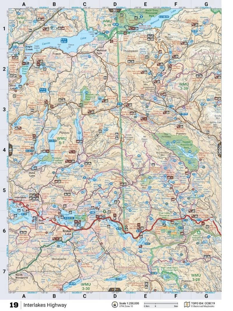
The Cariboo Chilcotin Coast BC Backroad Mapbook – 7th Edition is your ultimate tactical advantage across one of Canada's last untouched wilderness regions. Whether you're tracking game, scouting secure campsites, or simply escaping into nature, this ruggedly detailed mapbook puts a lifetime of critical knowledge right in your hands.
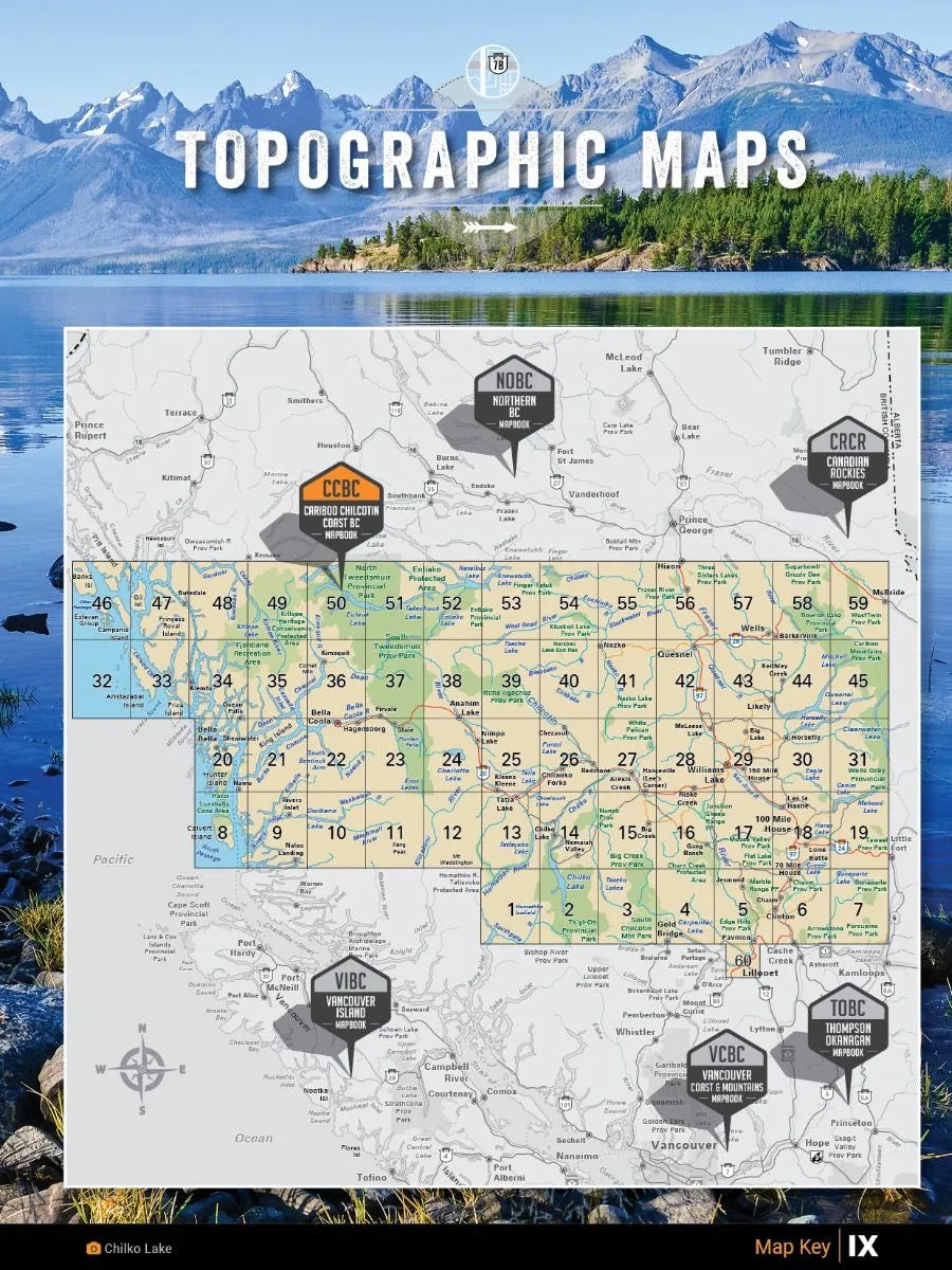
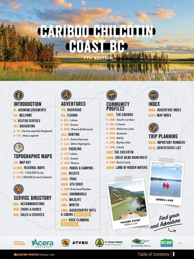
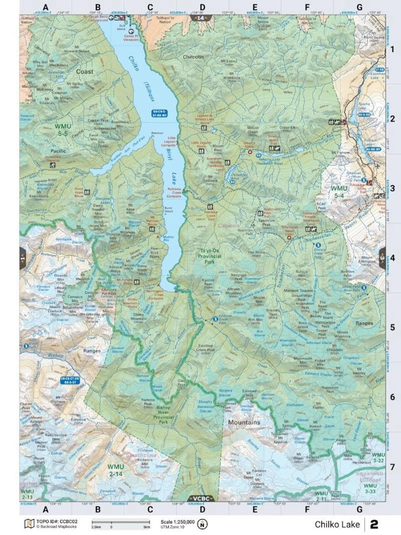
Packed with 59 large-scale maps (1:250,000) and a bonus detailed map (1:80,000), this edition features thousands of backcountry adventure listings, precise fish stocking charts, marked private land zones, hunting and fishing hotspots, hiking trails, winter survival routes, and even a brand-new directory of backcountry huts and cabins.
Plan every move with confidence — from the dense forests of Horsefly to the wild coastlines of Bella Coola. Whether you're prepping for the long haul or a short-term bug-out, this mapbook ensures you're never lost when it matters most.
Key Features:
- Highways, logging roads, and remote access routes
- Full hunting and fishing area breakdowns
- Paddling, hiking, and motorized trail maps
- Campgrounds, cabins, parks, and winter travel routes
- Adventure Points of Interest & survival-ready resource areas
- Comprehensive backcountry hut and cabin guide
Areas Covered: 100 Mile House, Alexis Creek, Anahim Lake, Barkerville, Bella Bella, Bella Coola, Bridge Lake, Clinton, Gold Bridge, Horsefly, Likely, Lillooet, McBride, Quesnel, Wells, Williams Lake, and beyond.
| Specification | Details |
|---|---|
| Edition | 7th Edition |
| Maps Included | 59 maps @ 1:250,000 + 1 map @ 1:80,000 |
| Regions Covered | 100 Mile House, Bella Coola, Williams Lake, Barkerville, Quesnel & more |
| Features | Highways, Logging Roads, Trails, Parks, Fishing/Hunting, POIs |
| New Additions | Fish species, Stocking Charts, Private Land Labels, Huts & Cabins Guide |
