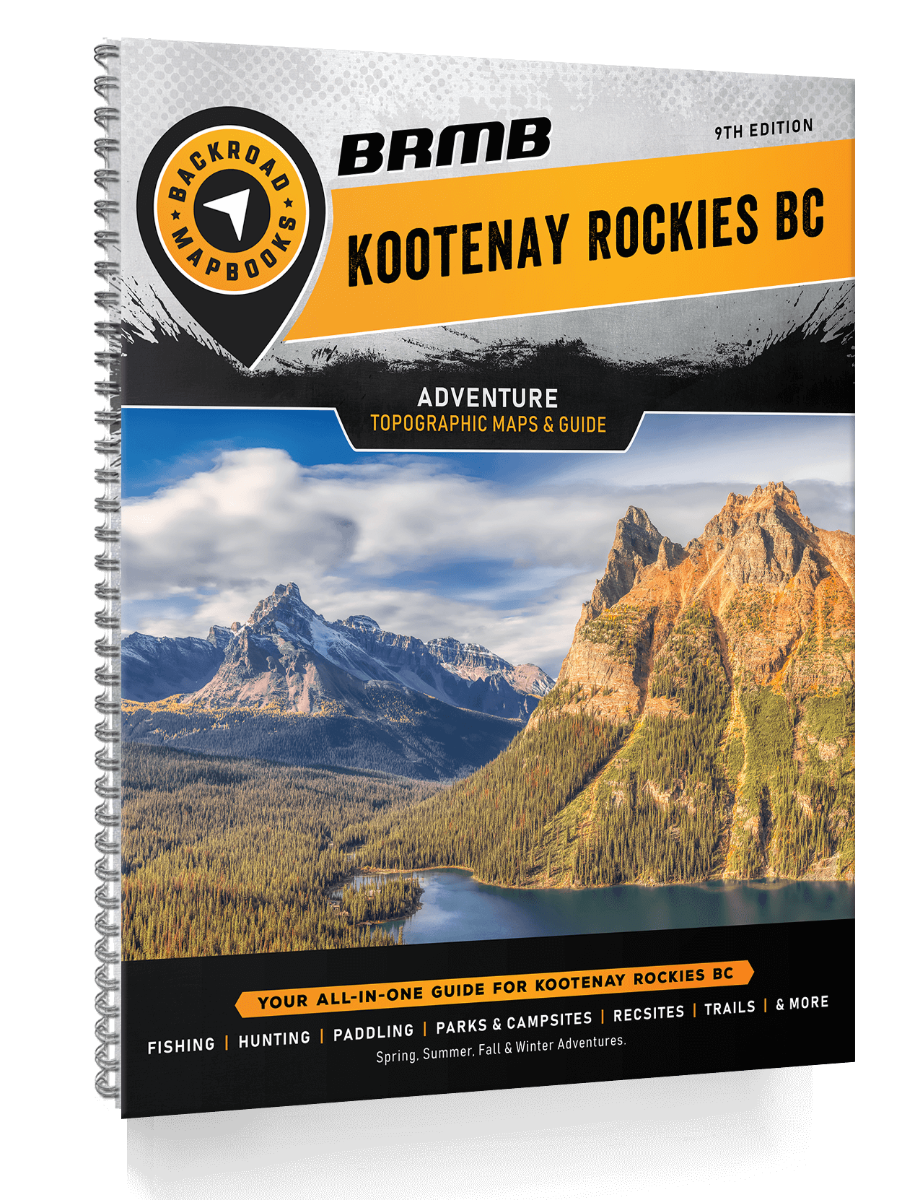
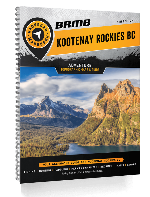
Kootenay Rockies BC Backroad Mapbooks- 9th Edition | BRMB
Kootenay Rockies BC Backroad Mapbooks- 9th Edition | BRMB is backordered and will ship as soon as it is back in stock.
Delivery and Shipping
Delivery and Shipping
United States: Free standard shipping on orders over $200.
Canada: Free standard shipping on orders over $100 to BC, AB, SK, MB, and ON
Delivery Times
Canada: 3-7 business days after processing.
United States: 5-10 business days after processing.
Payment & Security
Payment methods
Your payment information is processed securely. We do not store credit card details nor have access to your credit card information.
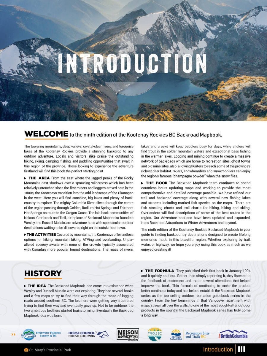
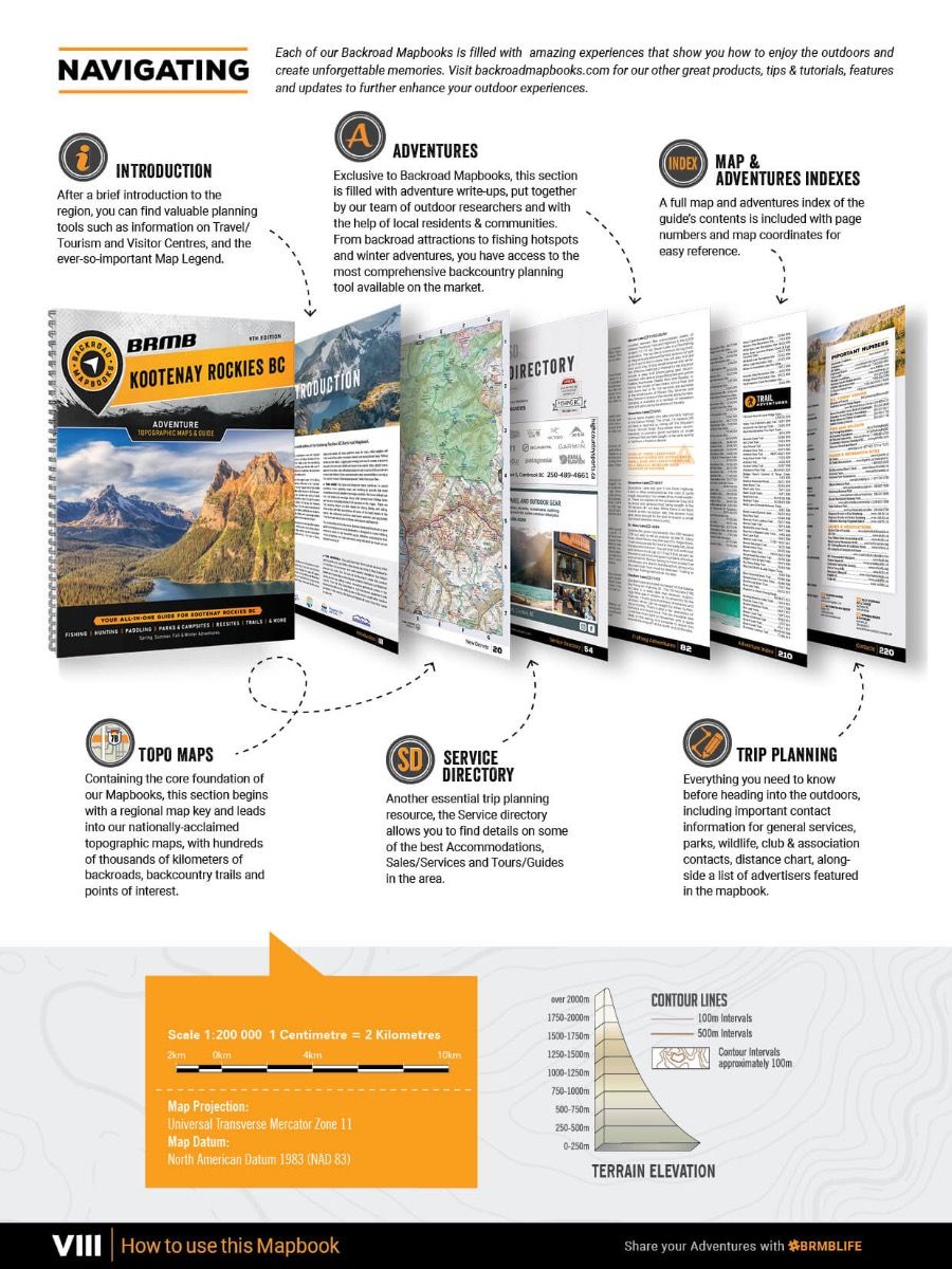
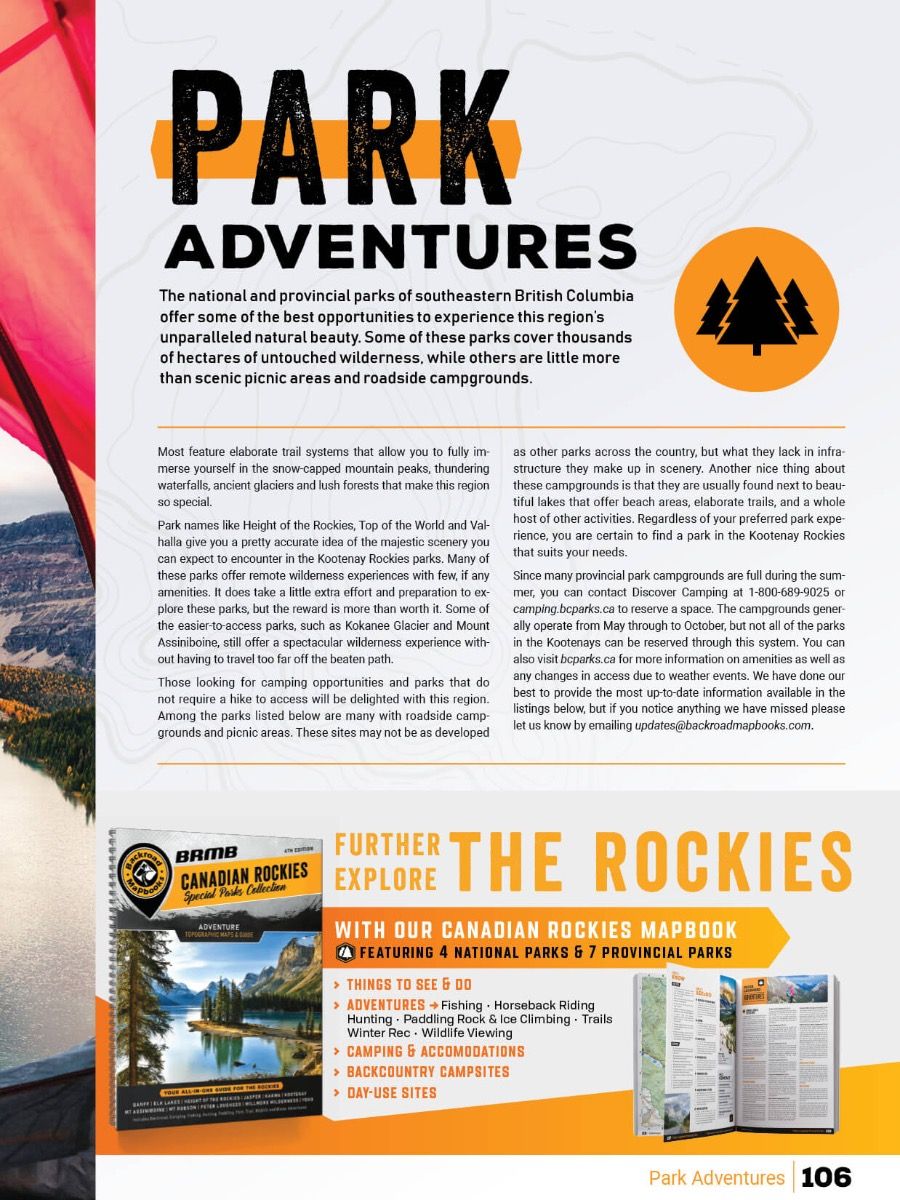
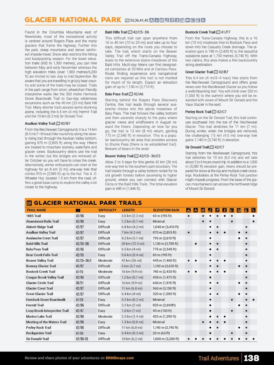
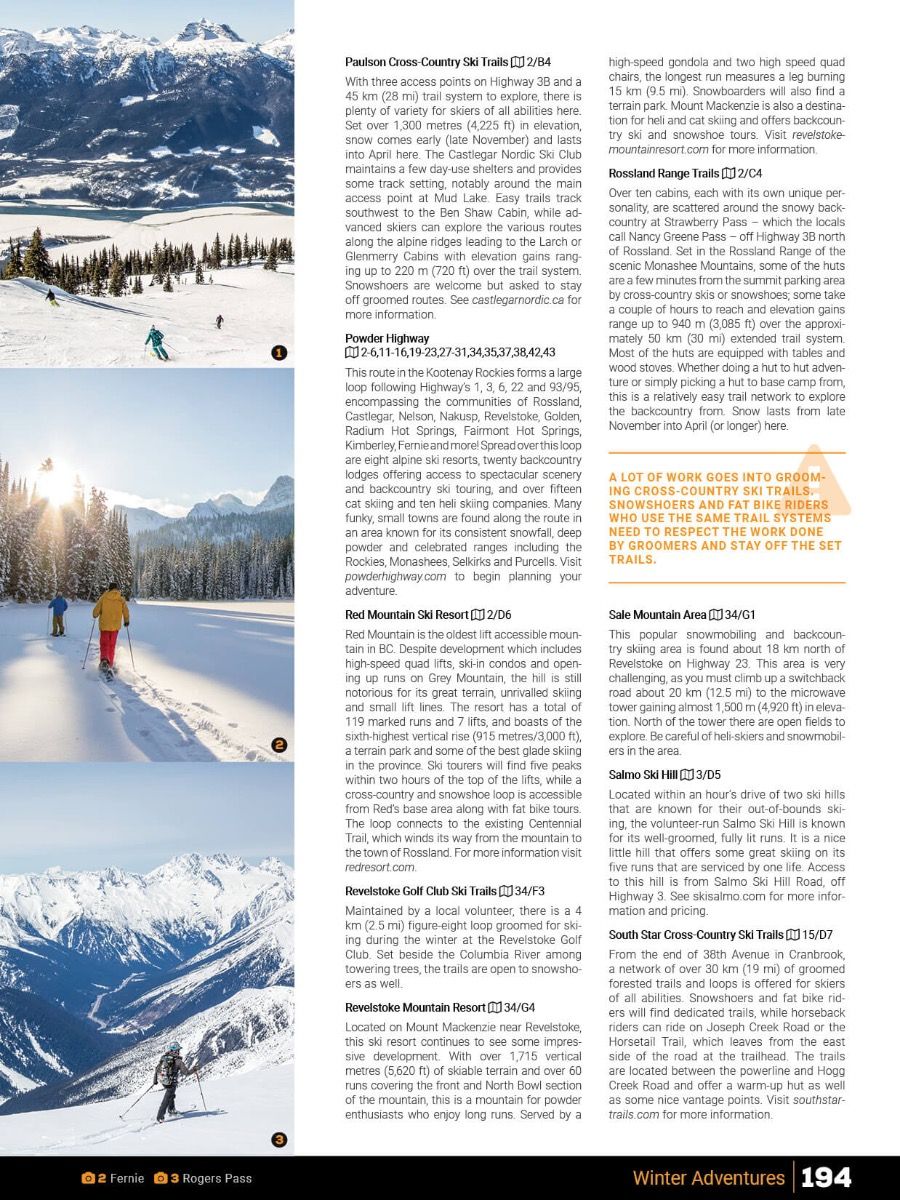
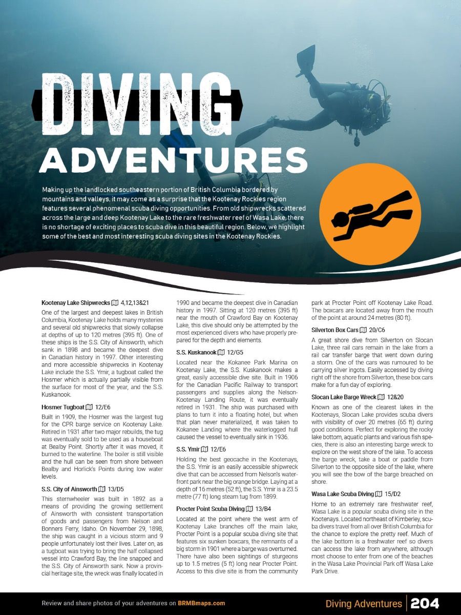
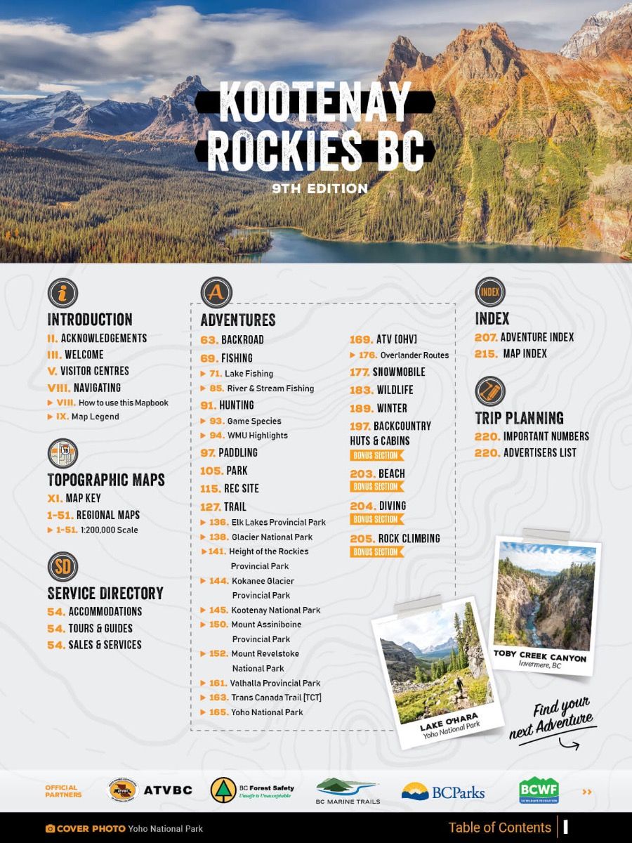
Navigate the rugged wilderness of the Kootenay Rockies like never before with the 9th Edition Backroad Mapbook. Packed with 224 pages of detailed topographic maps, this spiral-bound guide covers 83,000+ km of roads, including logging and industrial routes, 515+ trails, 400+ fishing locations, 60+ ATV routes, and 75+ wildlife viewing areas. Newly updated, this edition features expanded roads and trails, updated fish stocking charts, overland routes, and bonus adventure sections for beaches, rock climbing, and scuba diving. Whether you're planning a backroad adventure, a fishing trip, or a remote camping getaway, this is the ultimate tool for exploring the wild terrain of British Columbia.
Print Features
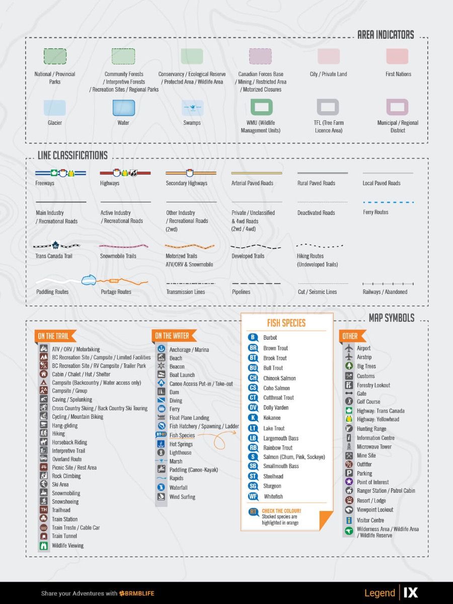
- Map Key & Legend
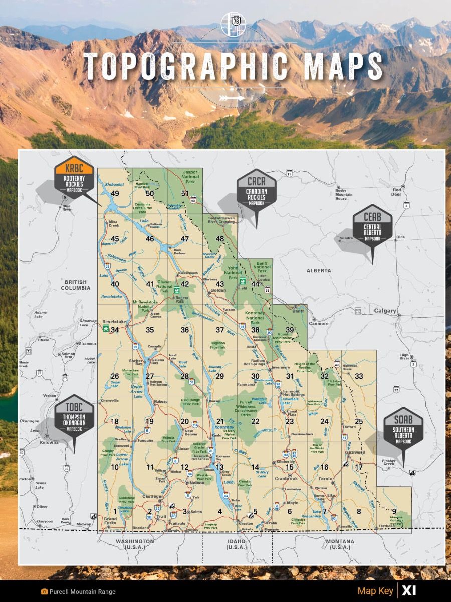
- Topographic Maps
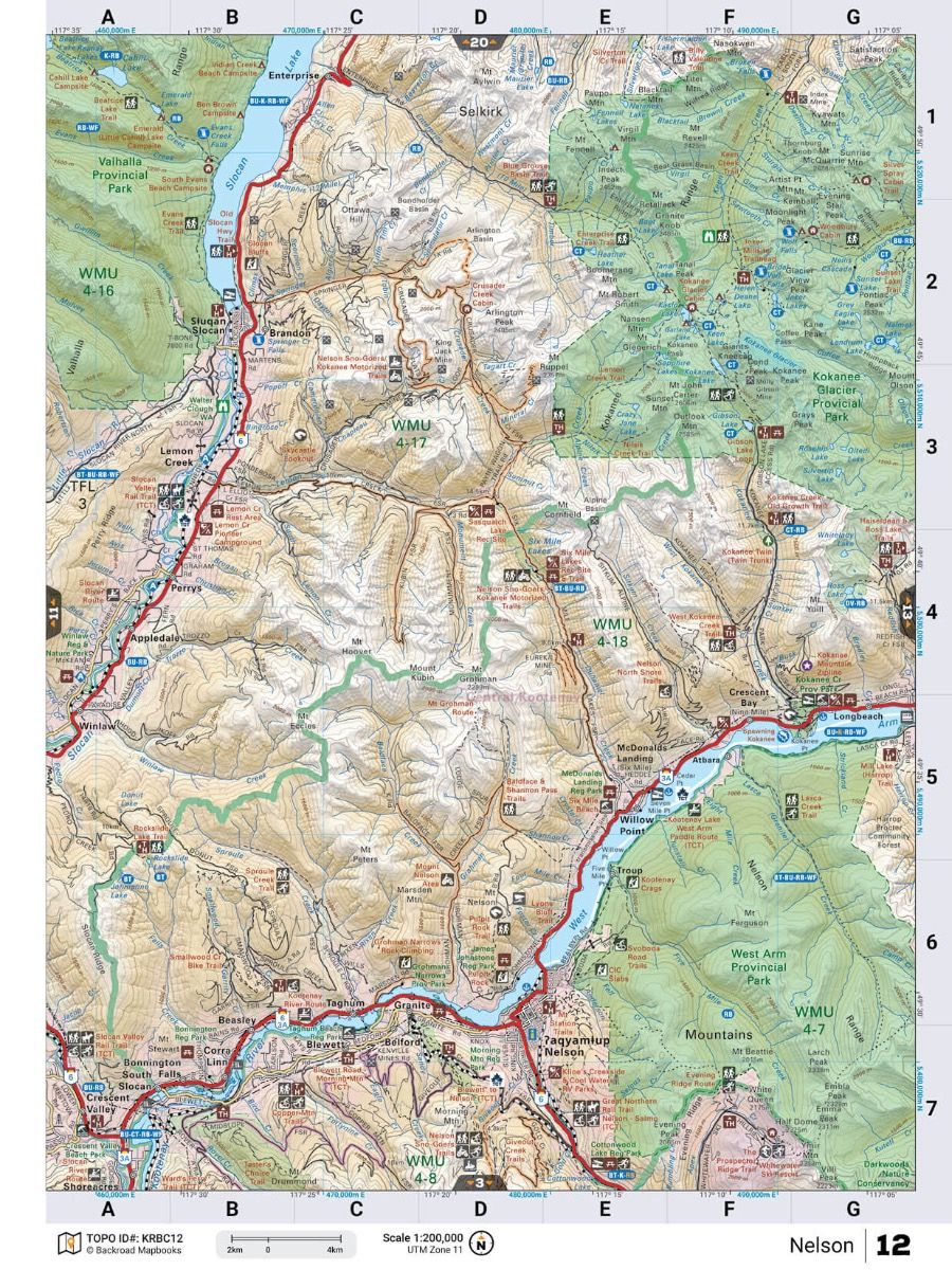
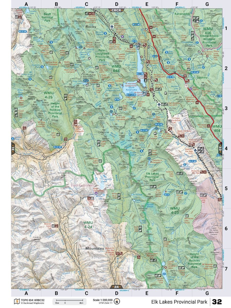
- 51 @ 1:200,000 Scale Maps
- Detailed Adventure Section
- 60+ Backroad Attractions
- 400+ Fishing Locations
- 35+ Hunting Areas
- 80+ Paddling Routes
- 100+ Parks & Campsites
- 200+ Recreation Sites
- 515+ Trail Systems
- 60+ ATV Routes
- 40+ Snowmobile Areas
- 75+ Wildlife Viewing
- 75+ Winter Recreation
- New Bonus Adventure Sections for Beaches, Rock Climbing, and Scuba Diving hotspots (40+ sites)
- Service Directory
- Accommodations
- Sales & Services
- Tours & Guides
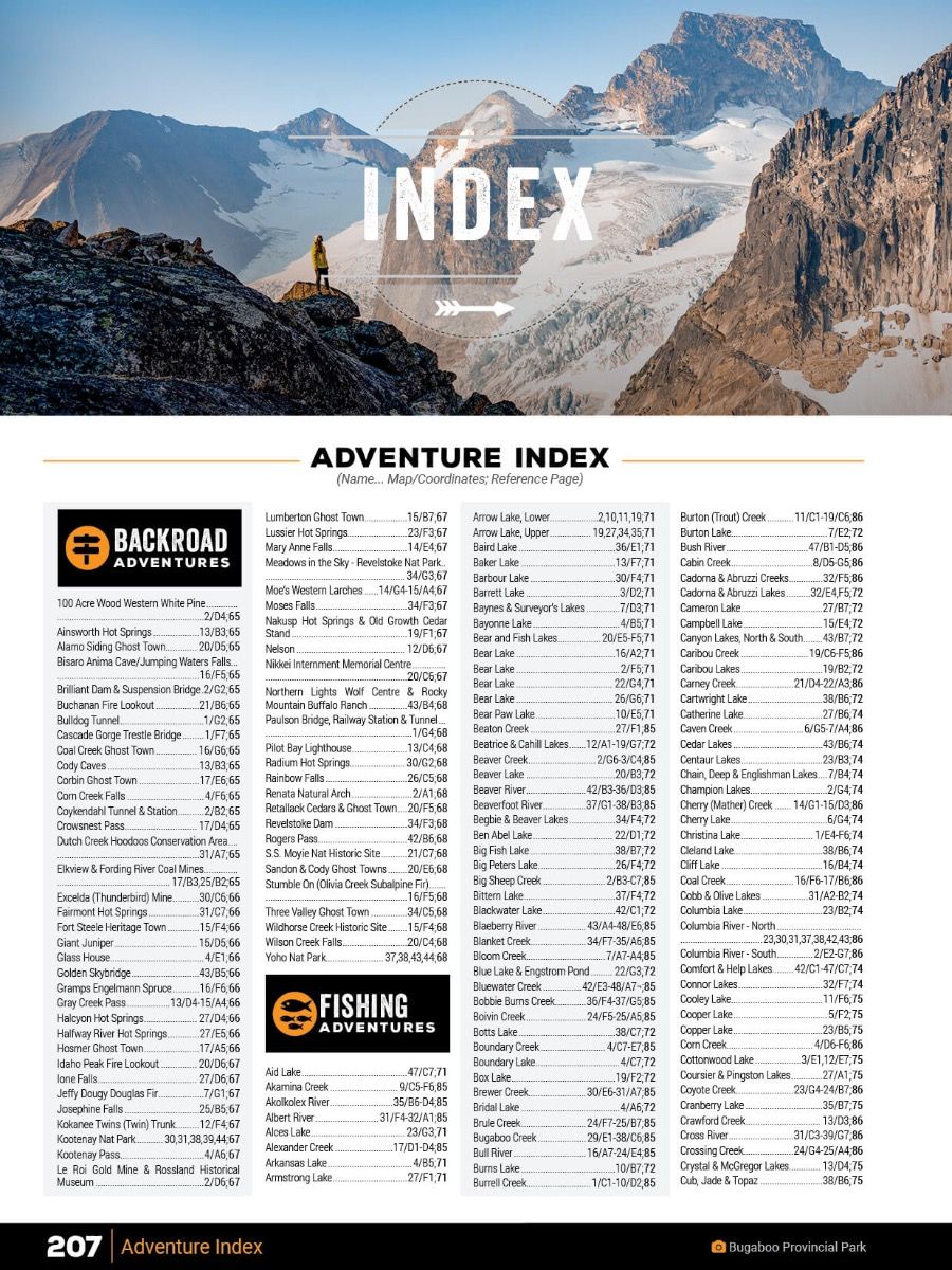
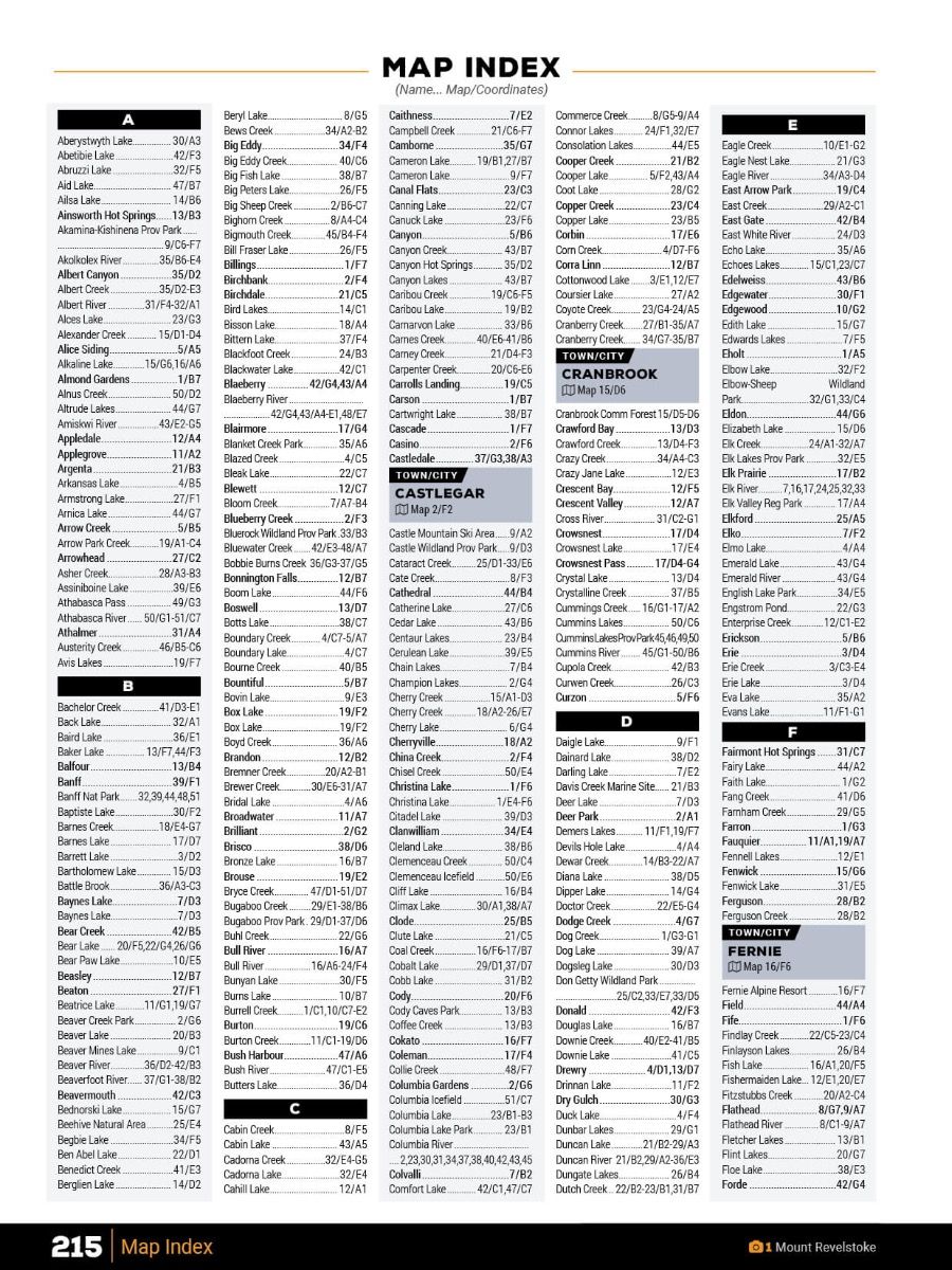
- Index
- Adventure Index
- Map Index
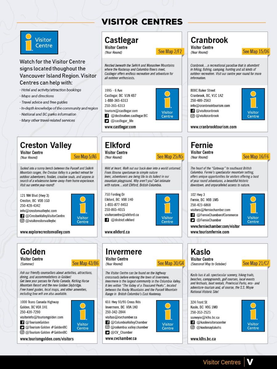
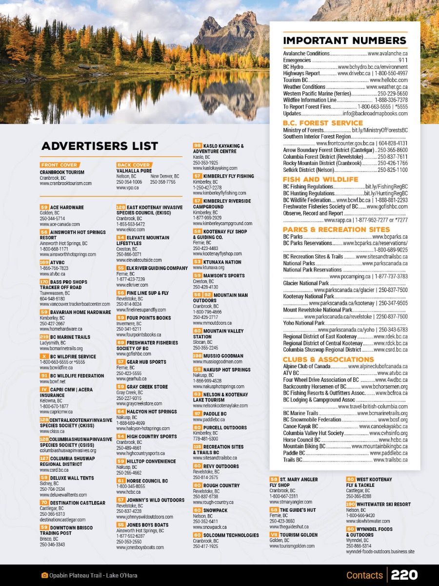
- Trip Planning Tools

