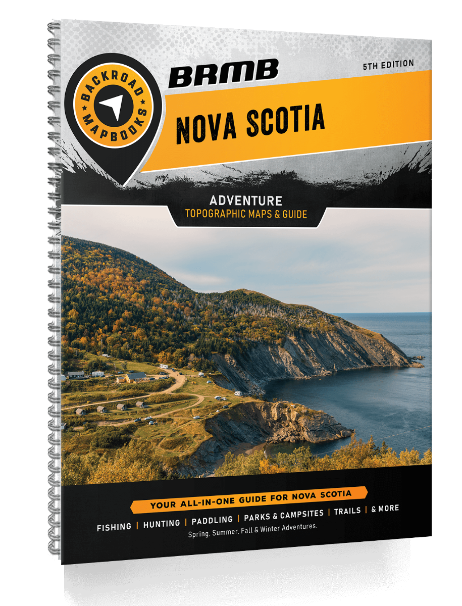
Nova Scotia Backroad Mapbooks- 5th Edition | BRMB
Nova Scotia Backroad Mapbooks- 5th Edition | BRMB is backordered and will ship as soon as it is back in stock.
Delivery and Shipping
Delivery and Shipping
United States: Free standard shipping on orders over $200.
Canada: Free standard shipping on orders over $100 to BC, AB, SK, MB, and ON
Delivery Times
Canada: 3-7 business days after processing.
United States: 5-10 business days after processing.
Payment & Security
Payment methods
Your payment information is processed securely. We do not store credit card details nor have access to your credit card information.
The province of Nova Scotia boasts a rugged and beautiful maritime landscape, as well as a unique culture steeped in Acadian, Celtic, Mi'kmaq and African tradition. With no portion of the province further than 56 km (35 mi) from the ocean, Nova Scotia is a land ruled by water. Hike the fabled trails of Cape Breton Highlands National Park, paddle one of the beautiful and challenging ocean kayaking routes, fish one of the famed Nova Scotia stream systems, or snowshoe one of the many winter trails through dense and scenic forest. With the newest edition of our Nova Scotia Mapbook in hand, there is no limit to what you can discover in this maritime wonderland.
In the 5 th Edition of the Nova Scotia Backroad Mapbook we have updated and enhanced all maps and added Crown land, more Wilderness and Nature Reserves, and expanded and refined road systems. We have also added and updated recreation features including multi-use trails, ATV trails, snowmobile routes and paddling systems, as well as refined thousands of Points of Interest to help you choose the adventure that is just right for you. New features include Stocked Lake Fishing Charts with added Fish Species, Multi-Use Trail Charts and more, expanding the Mapbook by over 60% in size and content from its last edition!
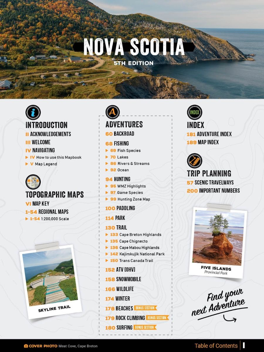
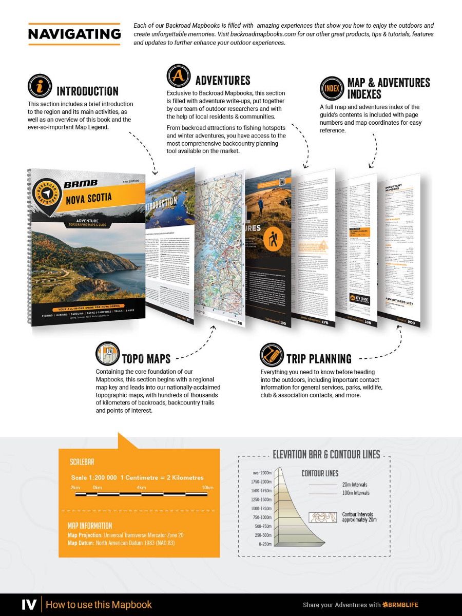
The printed version of the mapbook comes in the convenient 21.5 x 28 cm (8.5 x 11 inch) mapbook format with a heavy-duty spiral-bound cover. The 200 page book includes 54 maps at 1:200,000 scale, along with 10 Outdoor Adventure sections, a Service Provider Directory, Map and Adventure Index, Trip Planning tools and more. With almost 100,000 kilometres of roads to view including the most complete logging and industrial road coverage available, the books are ideal for navigating on road trips and planning from home.
Print Features
- Map Key & Legend
- Topographic Maps
- 54 @ 1:200,000 Scale Maps
- Detailed Adventure Section
- Backroad Attractions
- Fishing Locations
- Hunting Areas
- Paddling Routes
- Parks & Campsites
- Trail Systems
- ATV Routes
- Snowmobile Areas
- Wildlife Viewing
- Winter Recreation
- New Bonus Adventures including Beaches, Rock Climbing, and Surfing
- Service Directory
- Accommodations
- Sales & Services
- Tours & Guides
- Index
- Adventure Index
- Map Index
- Trip Planning Tools

